UAP-archivesUAP Archives
DocumentsVideosPhotosTimelineBlogSearch
Map of the United States showing locations of flying object sightings.

Map of the United States showing locations of flying object sightings.

Metadata

Type
Map
Agency
USAF
Dimensions
1066 × 1704
View on page 12 of source document
USAF Air Intelligence Report 100-203-79

Related photos

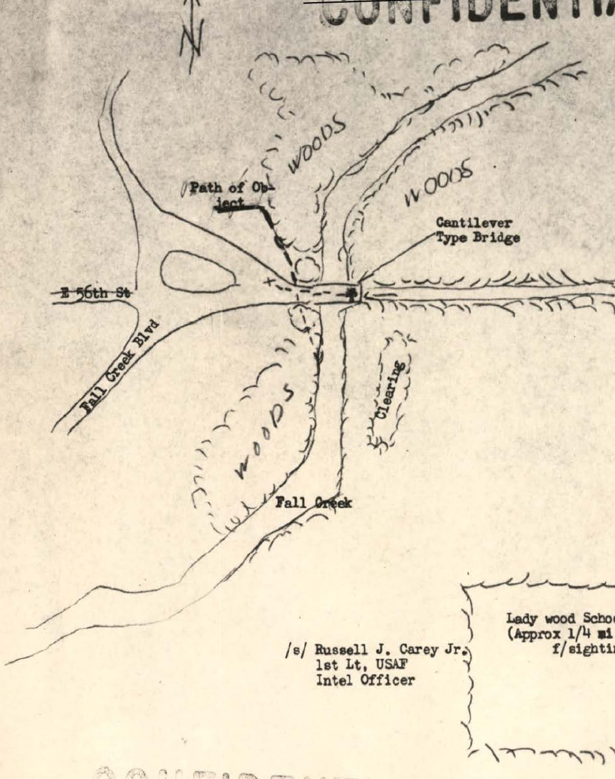
Hand-drawn map showing path of object, roads (E 96th St, Fall Creek Blvd), wooded areas, cantilever bridge, and Lady wood School location
Map· p.152· USAF

Hand-drawn map showing path of object, roads (E 96th St, Fall Creek Blvd), wooded areas, cantilever bridge, and Lady wood School location

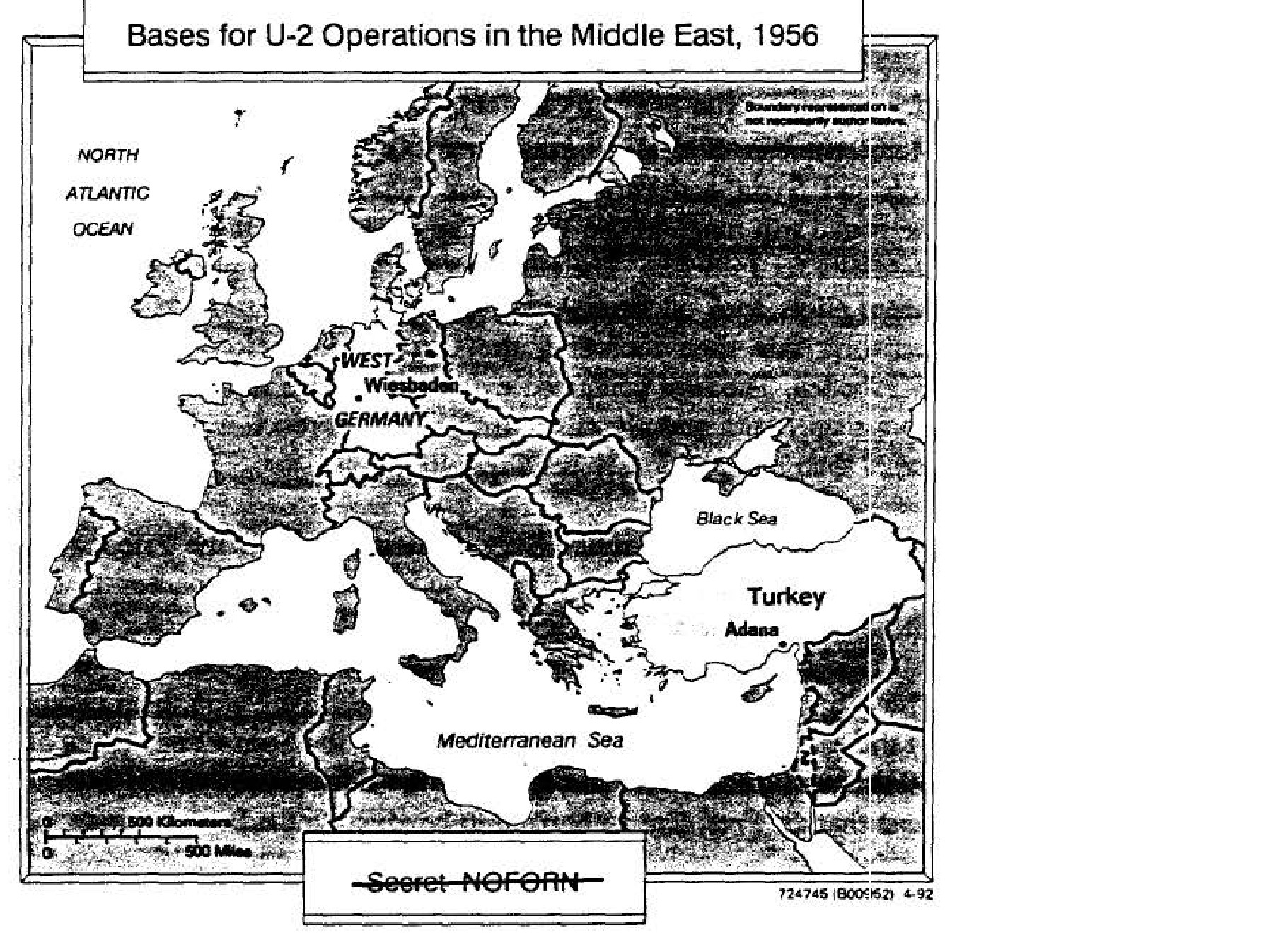
Bases for U-2 Operations in the Middle East, 1956

Map· p.126· Air Force

Bases for U-2 Operations in the Middle East, 1956
UAP Archives

Public archive of UFO/UAP documents released by the US Department of War

▶ YouTube
  • @UAP-archives
  • Subscribe to UAP Archives on YouTube
Documents
  • Search
  • Photos
  • Timeline
  • Wiki
  • Glossary
About
  • About
  • Methodology
  • Limitations
  • API
Preserved archive.

Official source: war.gov/UFO/

US government content in the public domain (17 U.S.C. § 105). Curation under MIT license.