
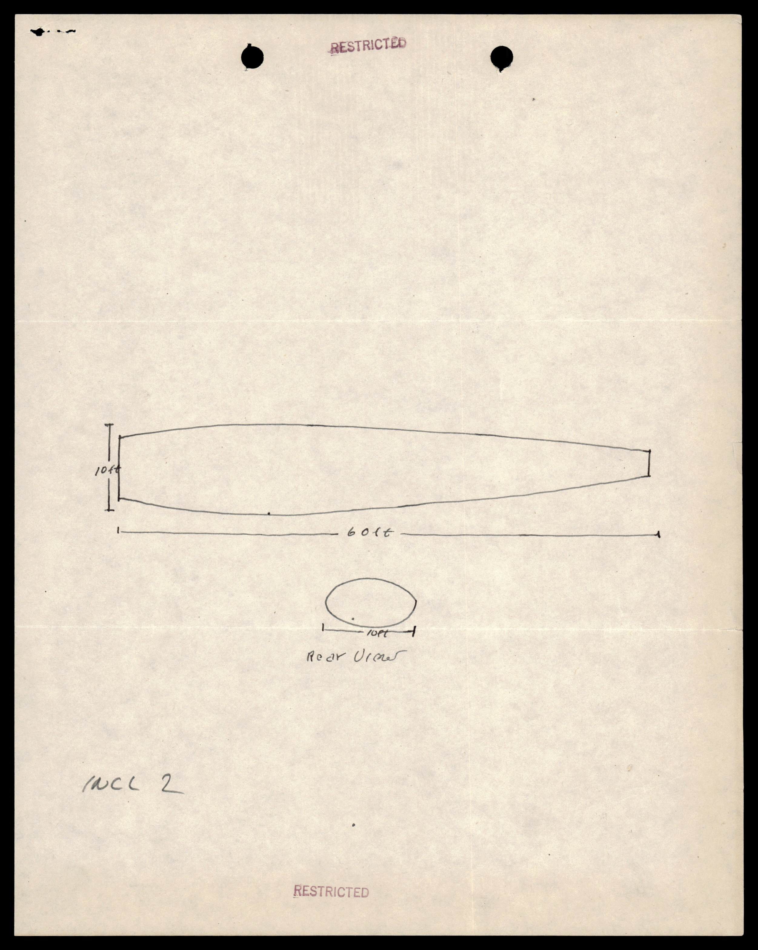
Sketch of a cigar-shaped object, 60 feet long and 10 feet in diameter, with a rear view.
photoRelated photos
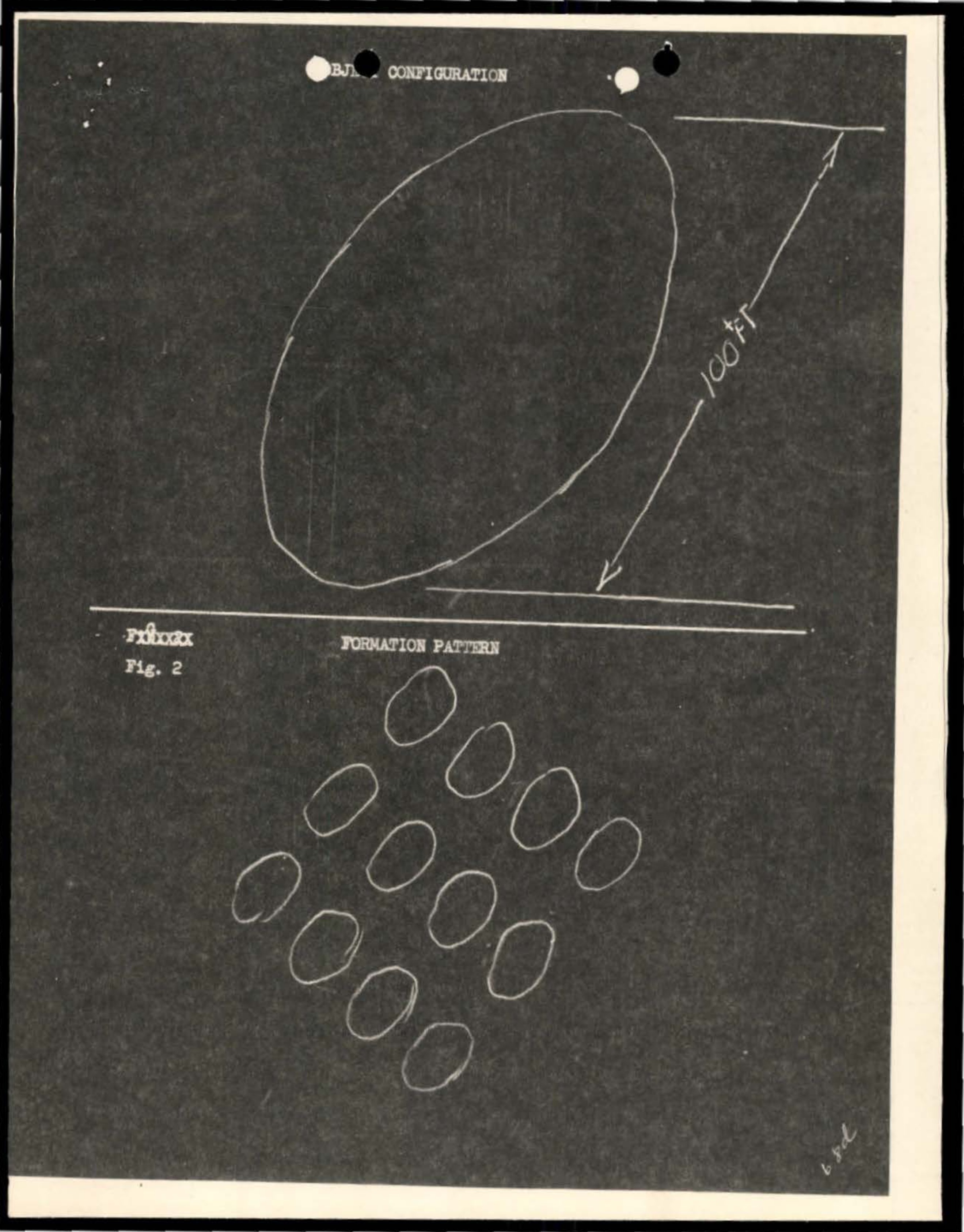
Photograph· p.107· USAF
Object configuration showing oval/elliptical shape with directional arrow marked 100 YA
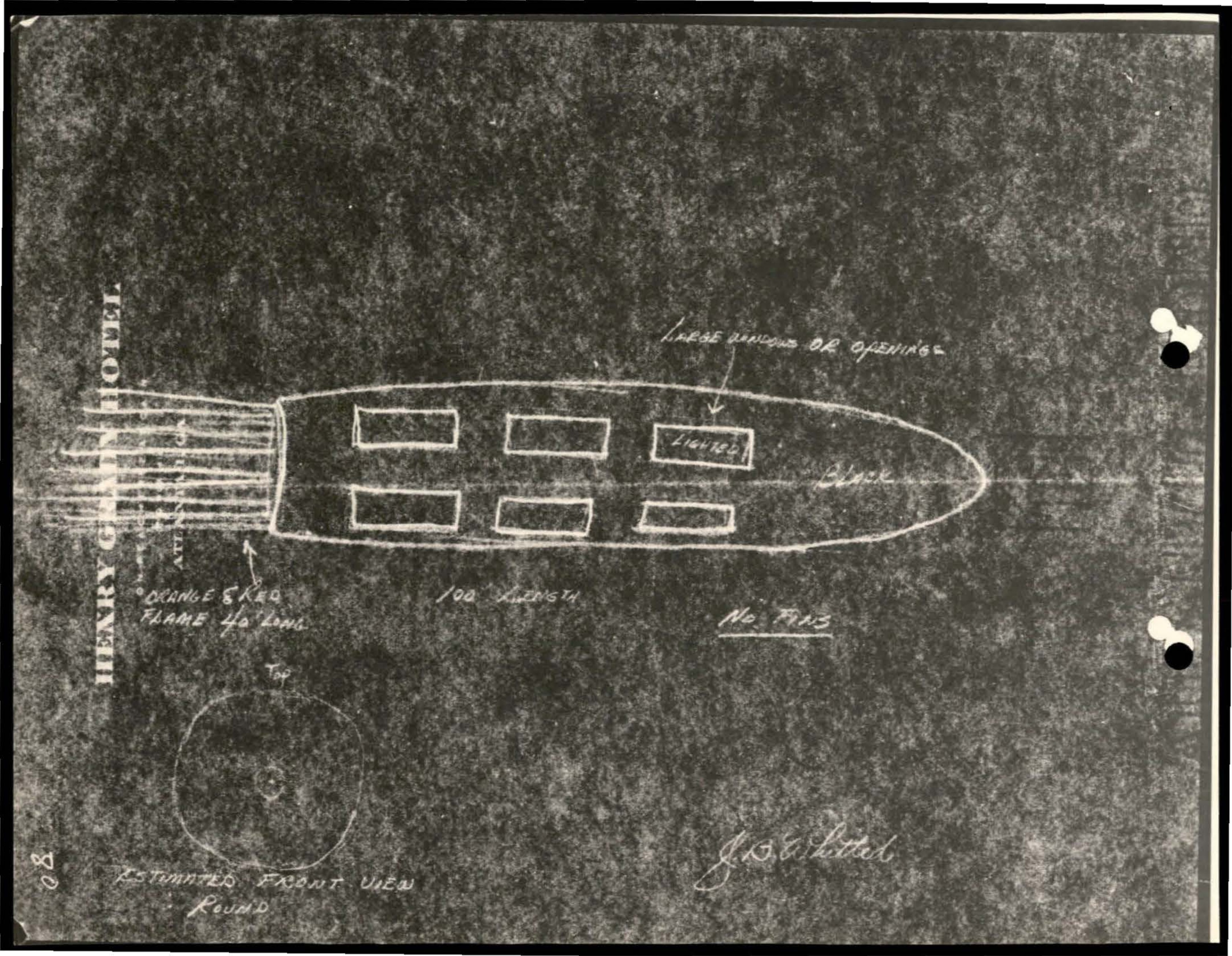
Photograph· p.135· USAF
Diagram of vessel or object with compartments and hawser attachment
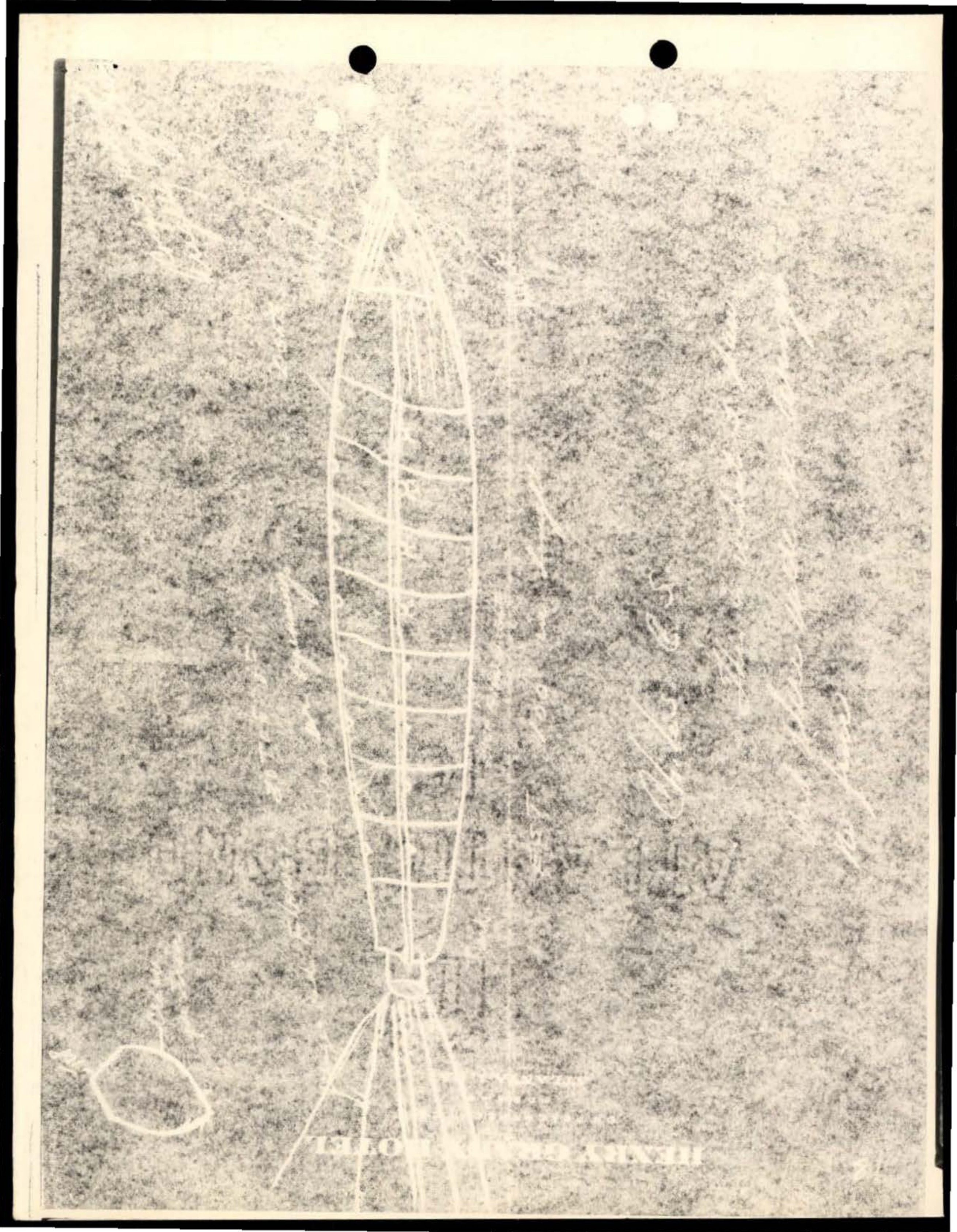
Photograph· p.136· USAF
White line drawing or sketch on grainy/textured background showing what appears to be a ladder-like or tower structure with geometric patterns
Photograph· p.111· USAF
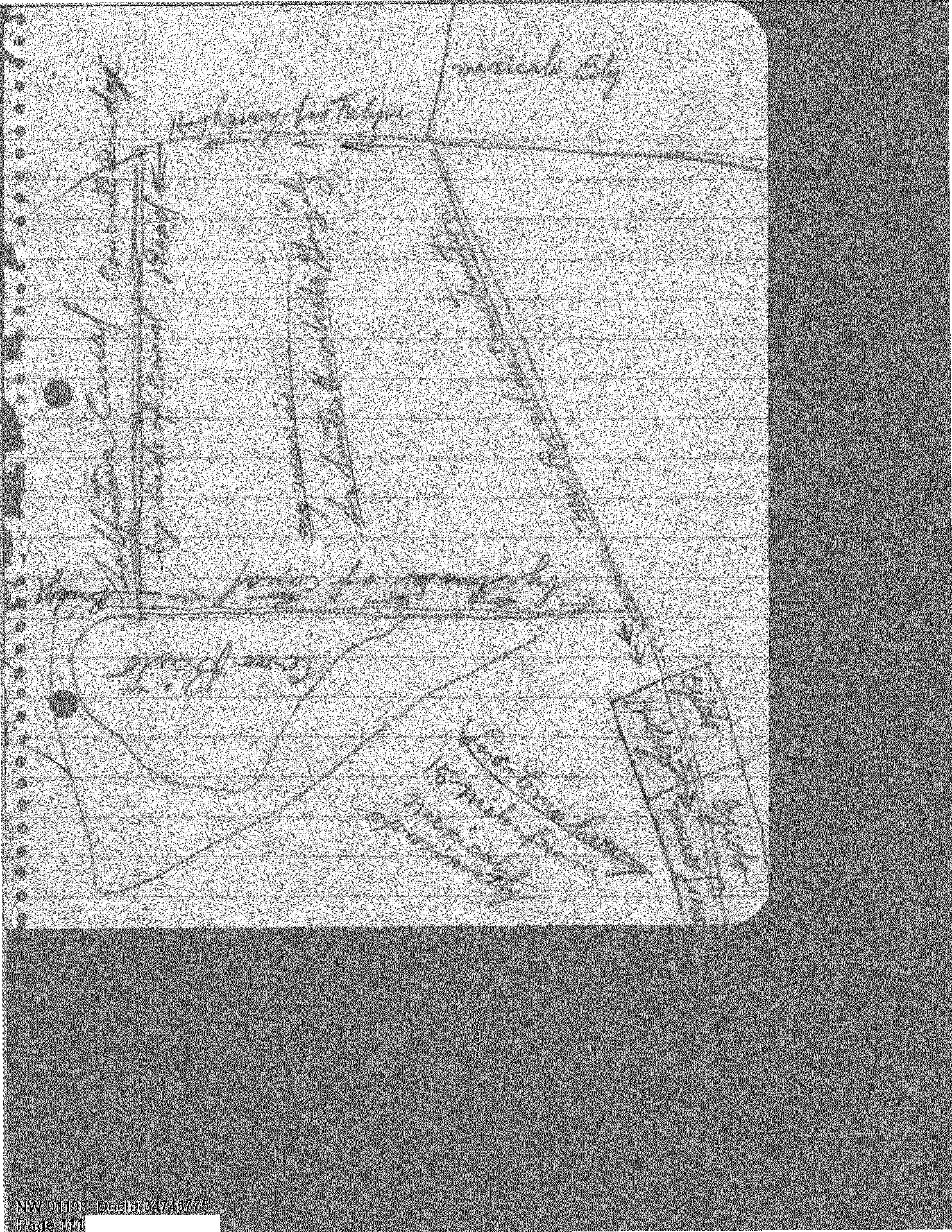
A hand-drawn map showing the location of a UFO sighting near Cerro Prieto, Mexico.
Photograph· p.41· US Air Force
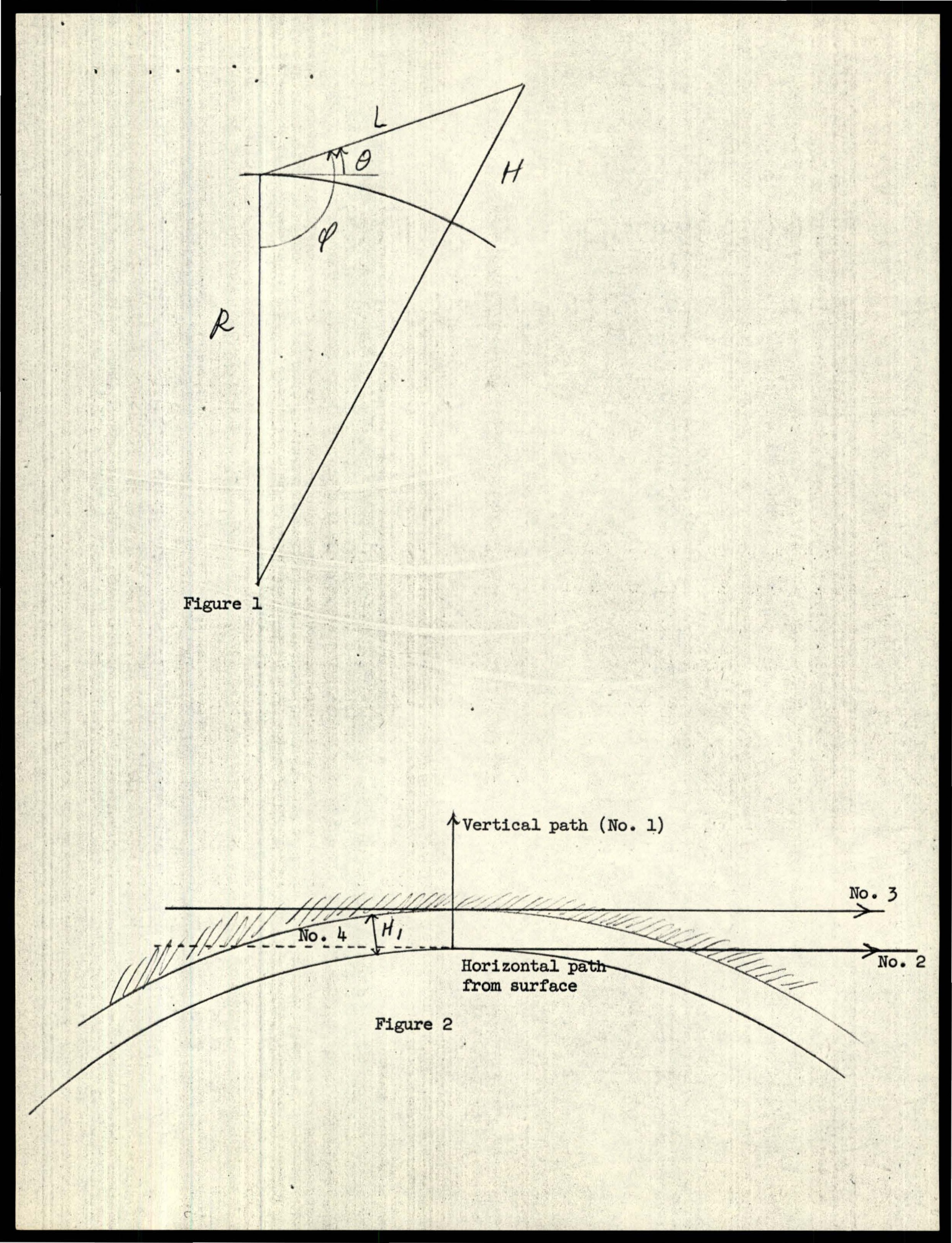
Figure 1 showing variables R, L, H, θ, φ.
Photograph· p.18· Air Force
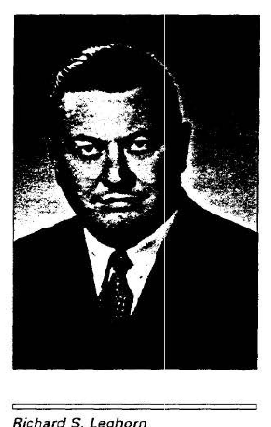
Richard S. Leghorn
Photograph· p.19· Air Force
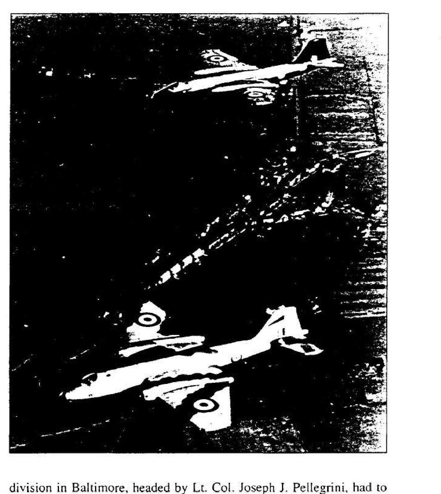
RAF Canberra Mark-PR3
Photograph· p.24· Air Force
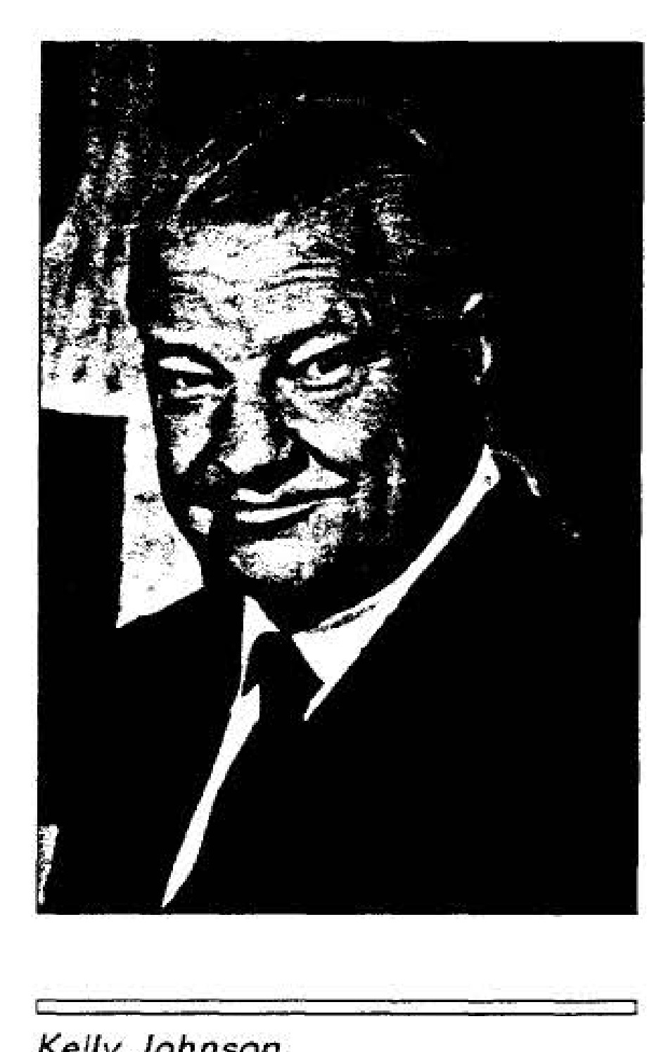
Kelly Johnson