
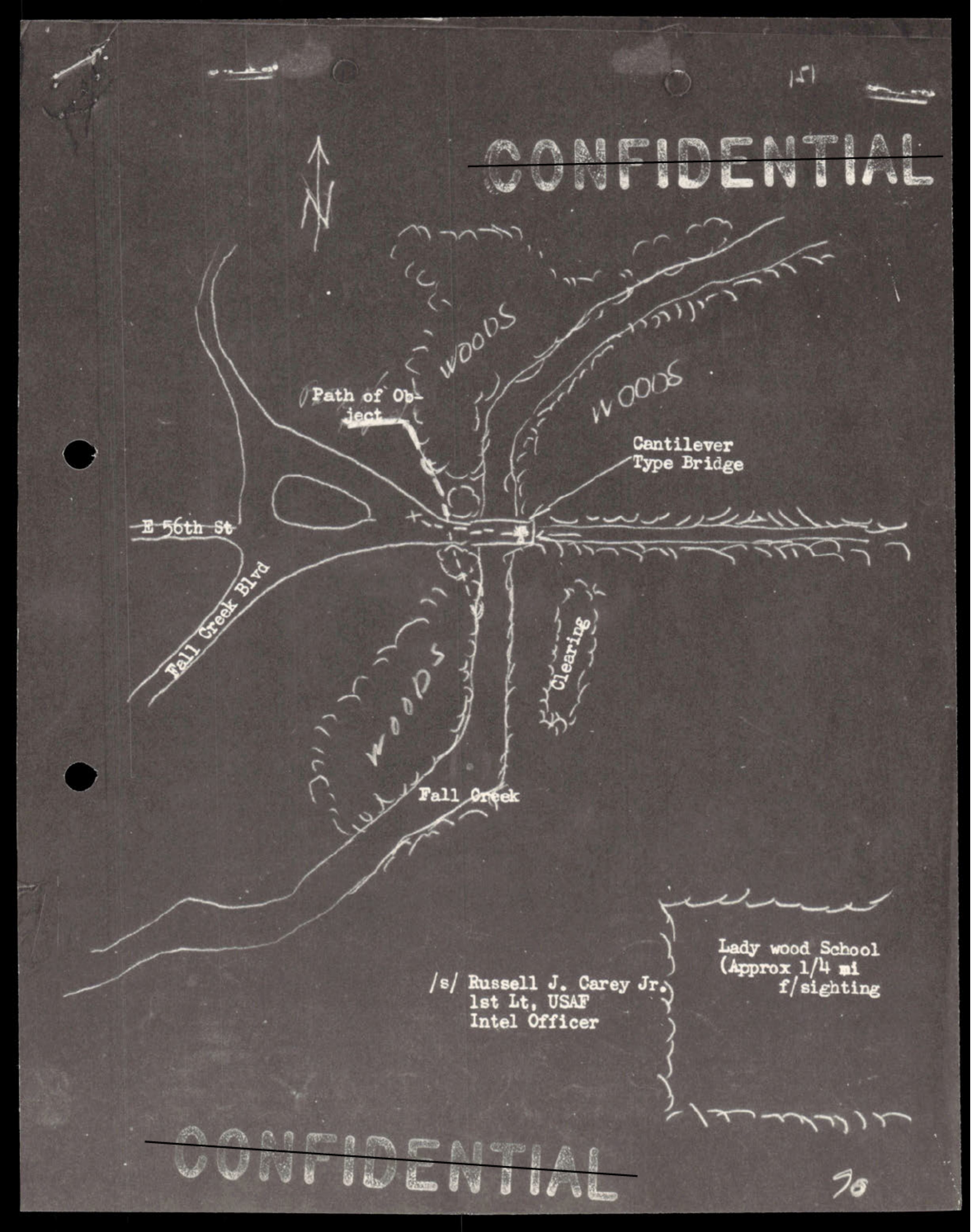
Hand-drawn map showing intersection of E 56th St and Fall Creek Blvd with woods, Cantilever Type Bridge, and Lady Wood School marked; includes north arrow and signature of Russell J. Carey Jr., 1st Lt. USAF Intel Officer, noting approx 1/4 mile to sighting location
photoRelated photos
Photograph· p.107· USAF
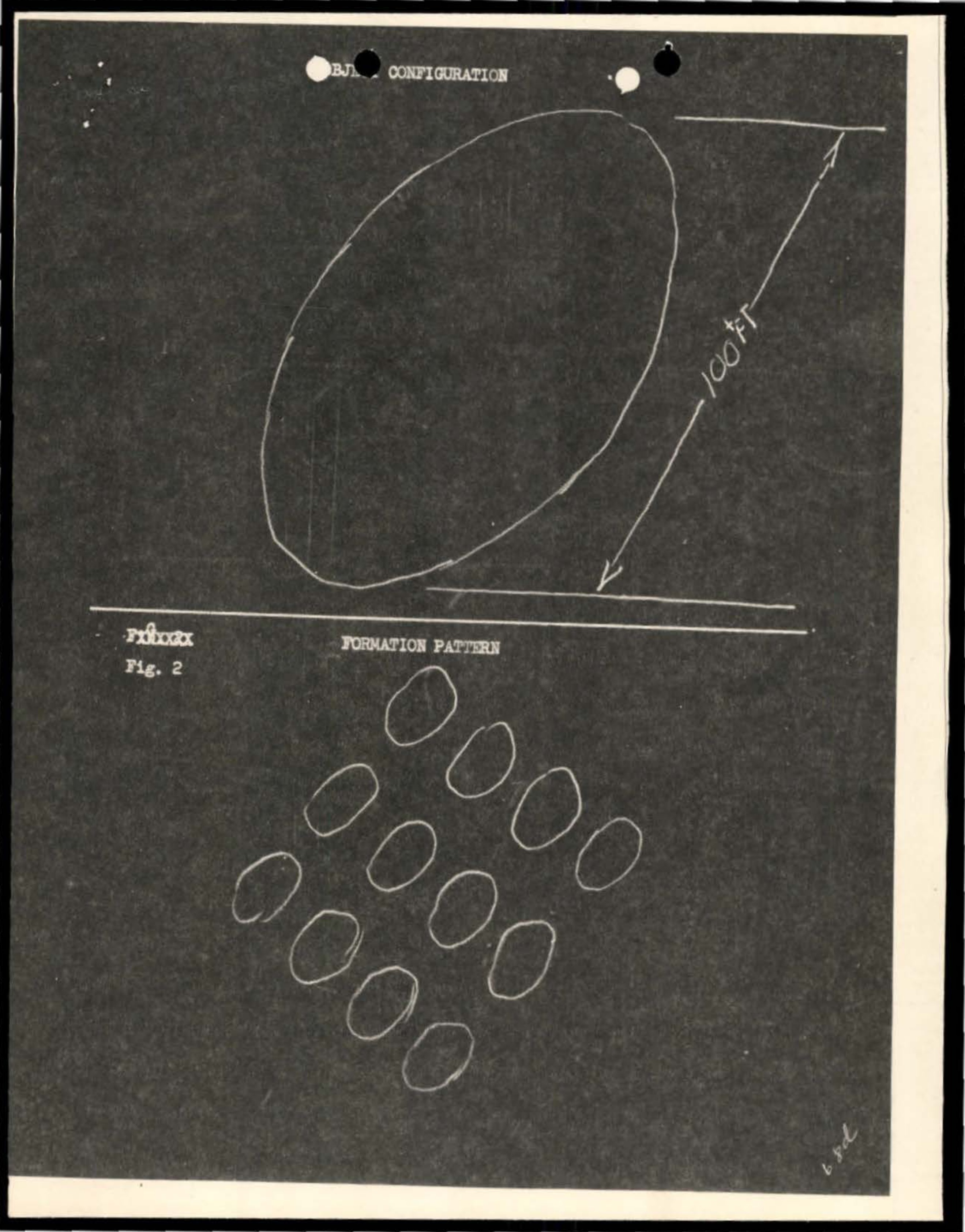
Object configuration showing oval/elliptical shape with directional arrow marked 100 YA
Photograph· p.135· USAF
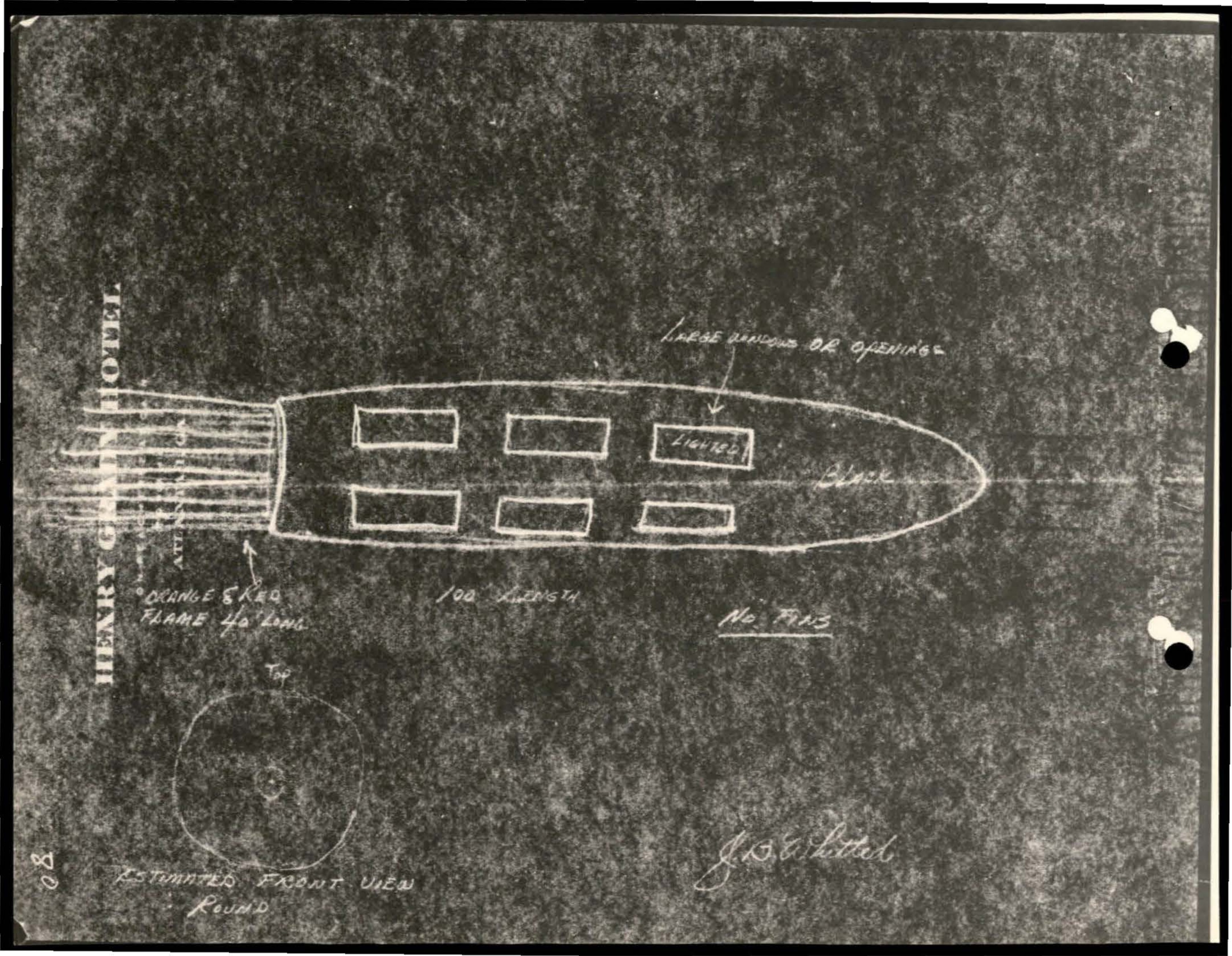
Diagram of vessel or object with compartments and hawser attachment
Photograph· p.136· USAF
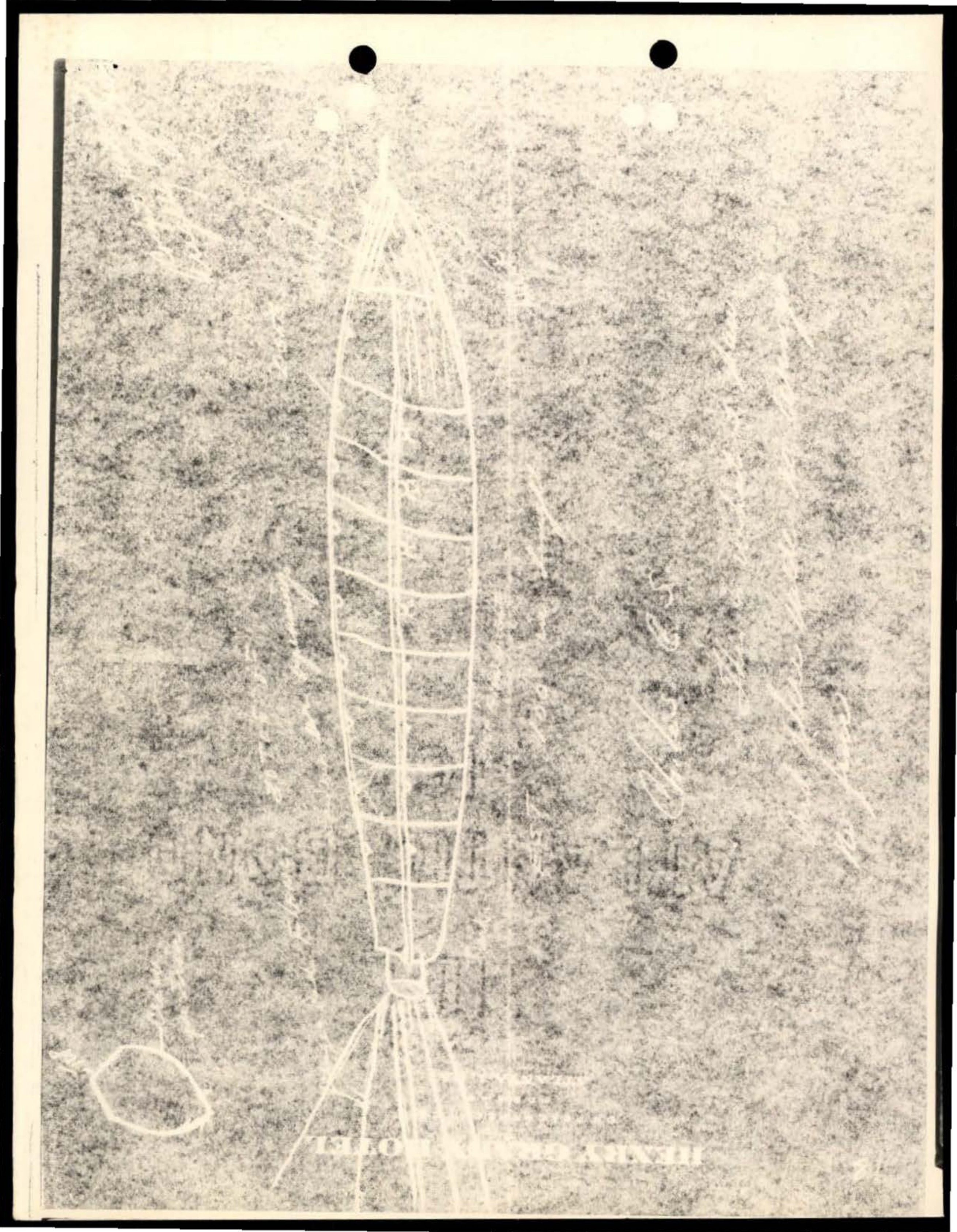
White line drawing or sketch on grainy/textured background showing what appears to be a ladder-like or tower structure with geometric patterns
Photograph· p.111· USAF
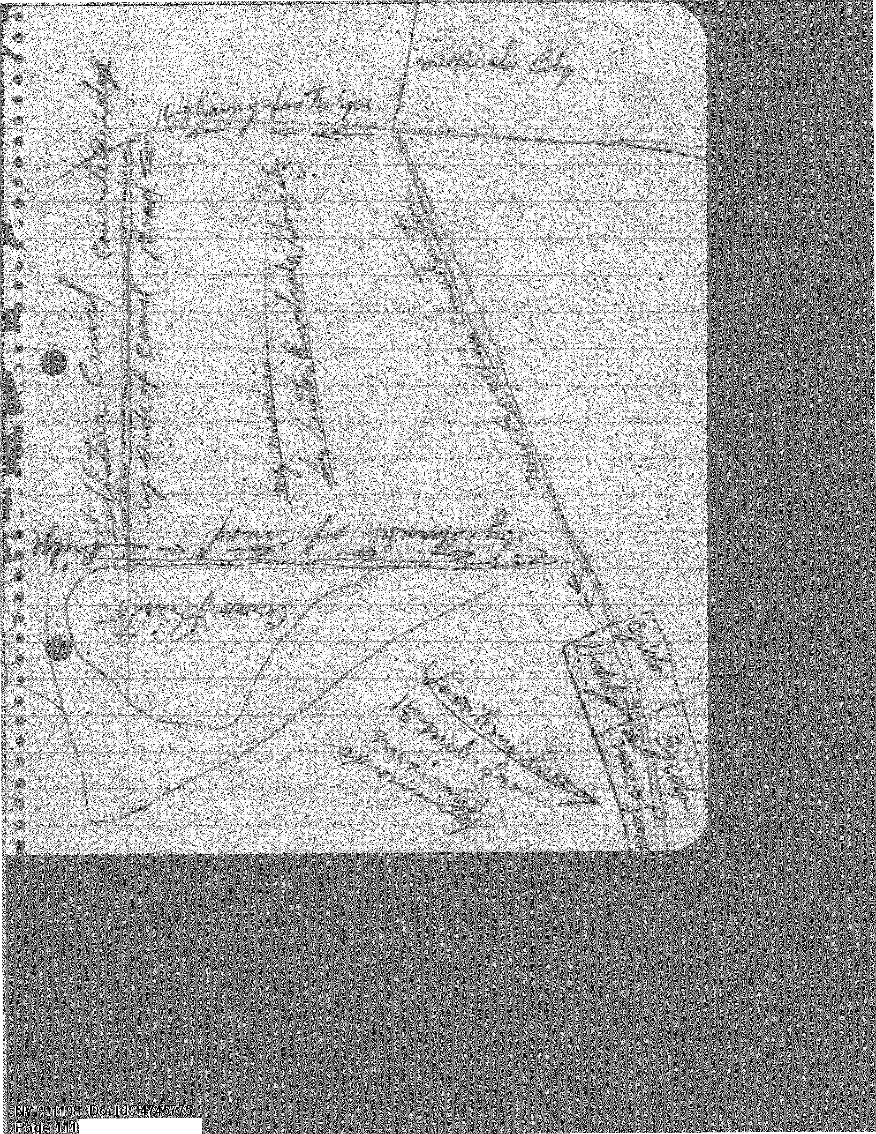
A hand-drawn map showing the location of a UFO sighting near Cerro Prieto, Mexico.
Photograph· p.41· US Air Force
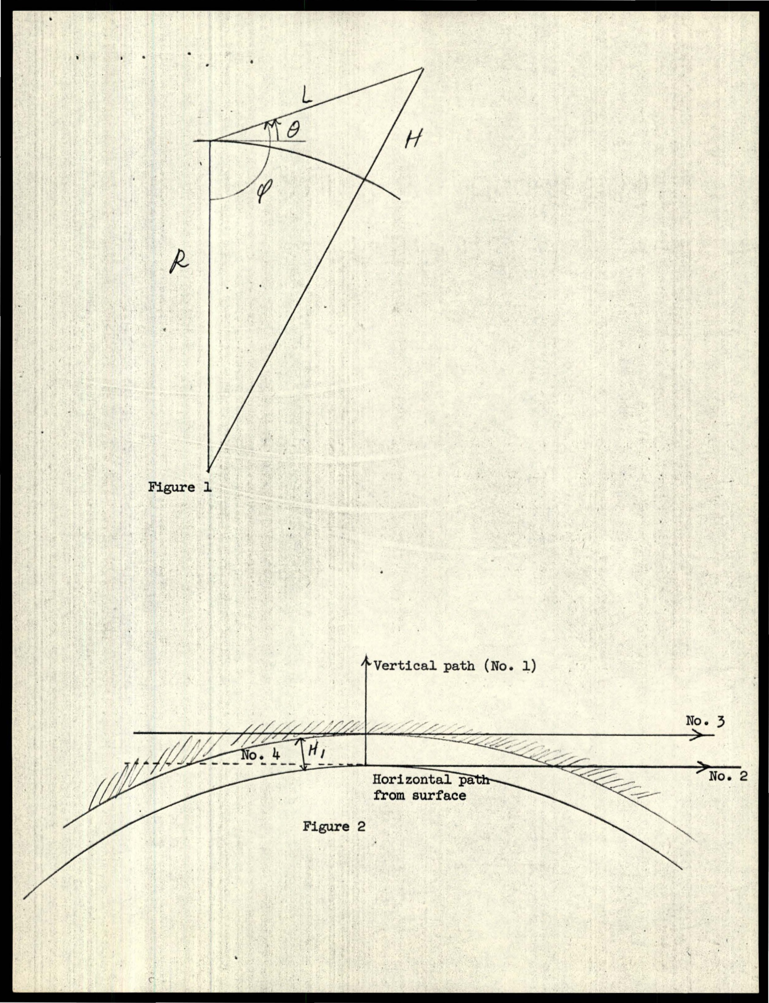
Figure 1 showing variables R, L, H, θ, φ.
Photograph· p.18· Air Force
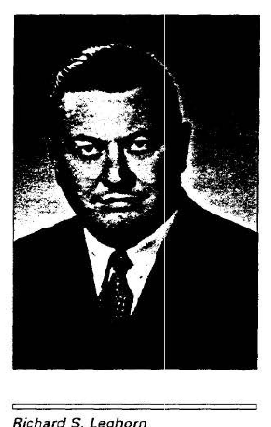
Richard S. Leghorn
Photograph· p.19· Air Force
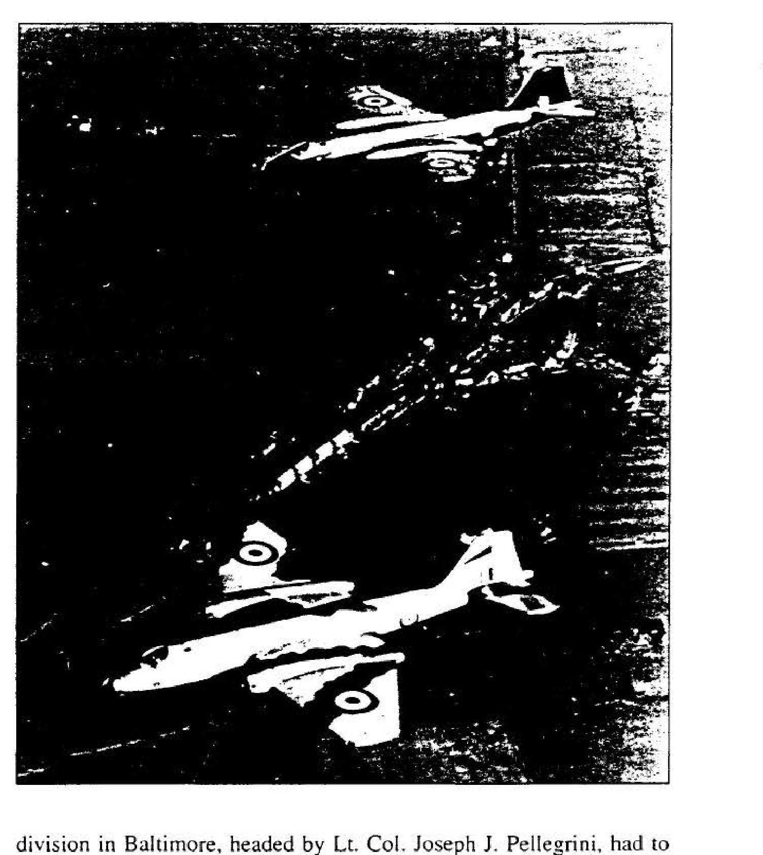
RAF Canberra Mark-PR3
Photograph· p.24· Air Force
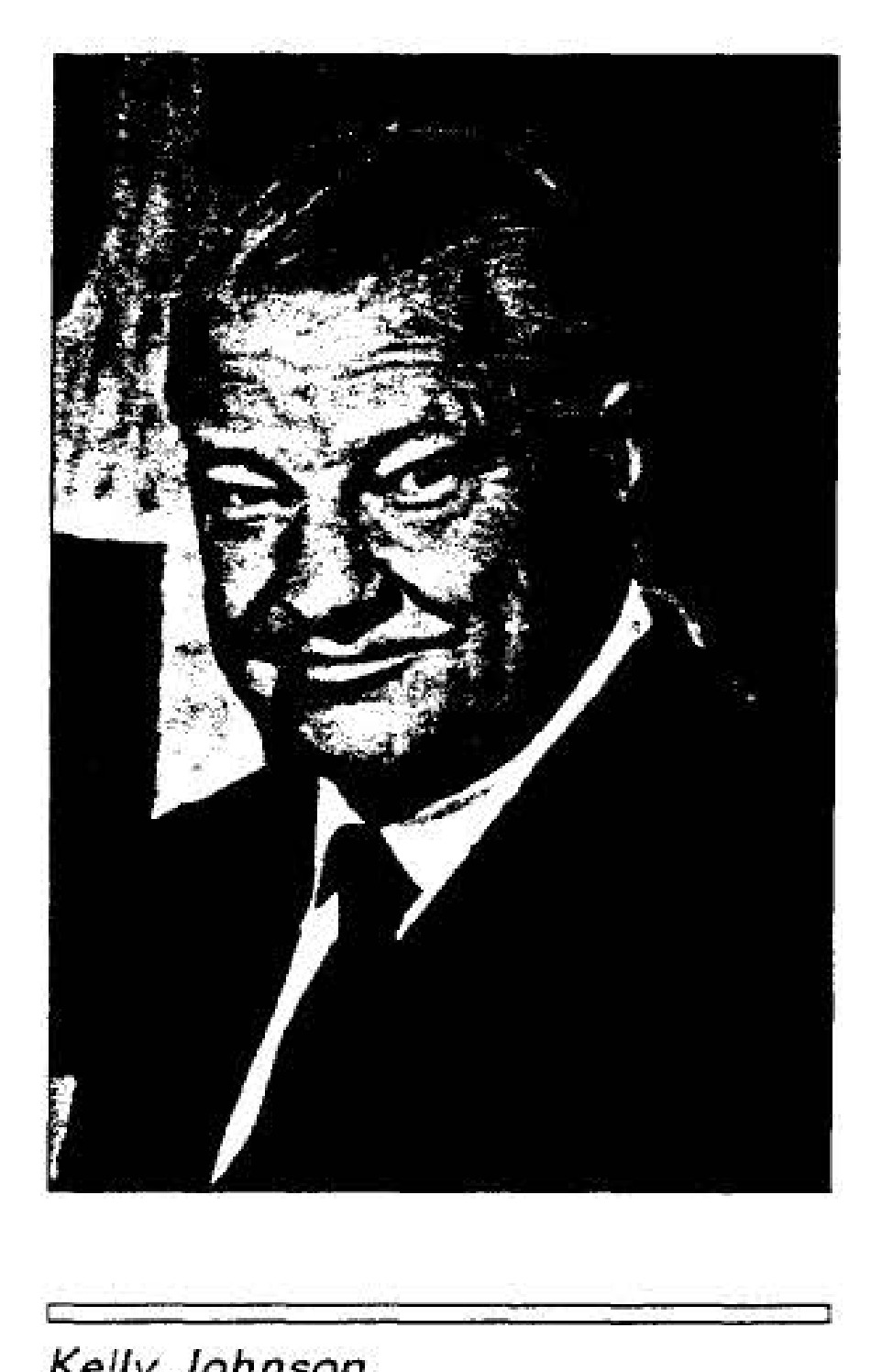
Kelly Johnson